Layers & Infrastructure
-
Toggle infrastructure layers in the Layers panel (left sidebar). Hidden layers are not fetched.
-
Some layers use enhanced icons that rotate with the map and avoid overlaps.
-
Data sources include NYC Open Data (Socrata), ArcGIS, and local static files; results are filtered to your current map view.
-
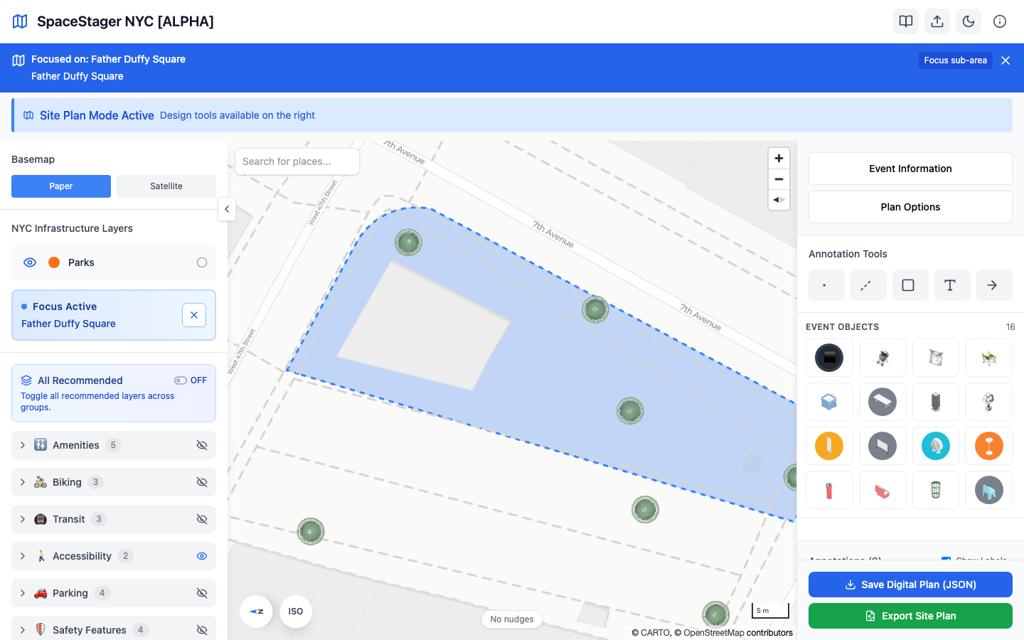
Example: all recommended layers enabled on a focused park zone: